Los 10 Volcanes más altos del Ecuador, este maravilloso país es una tierra de volcanes, existen más de 80 - incluyendo los de las islas Galápagos - y alrededor de 25 se encuentran en actividad.
Ecuadorians are strange people: they rejoice with sad music, they live poor while sitting on wealth and they live peacefully in the middle of crunching volcanoes.
Alexander Von Humboldt
Descubre nuestra Tienda
Origin of Volcanoes
Volcanoes form on the borders of tectonic plates, in the case of South America, the Nazca plate converges with the South American plate.
As a result, the famous Andes mountain range was formed, which is 85,000 km long and crosses 7 countries, making it the longest continental mountain range on the planet.
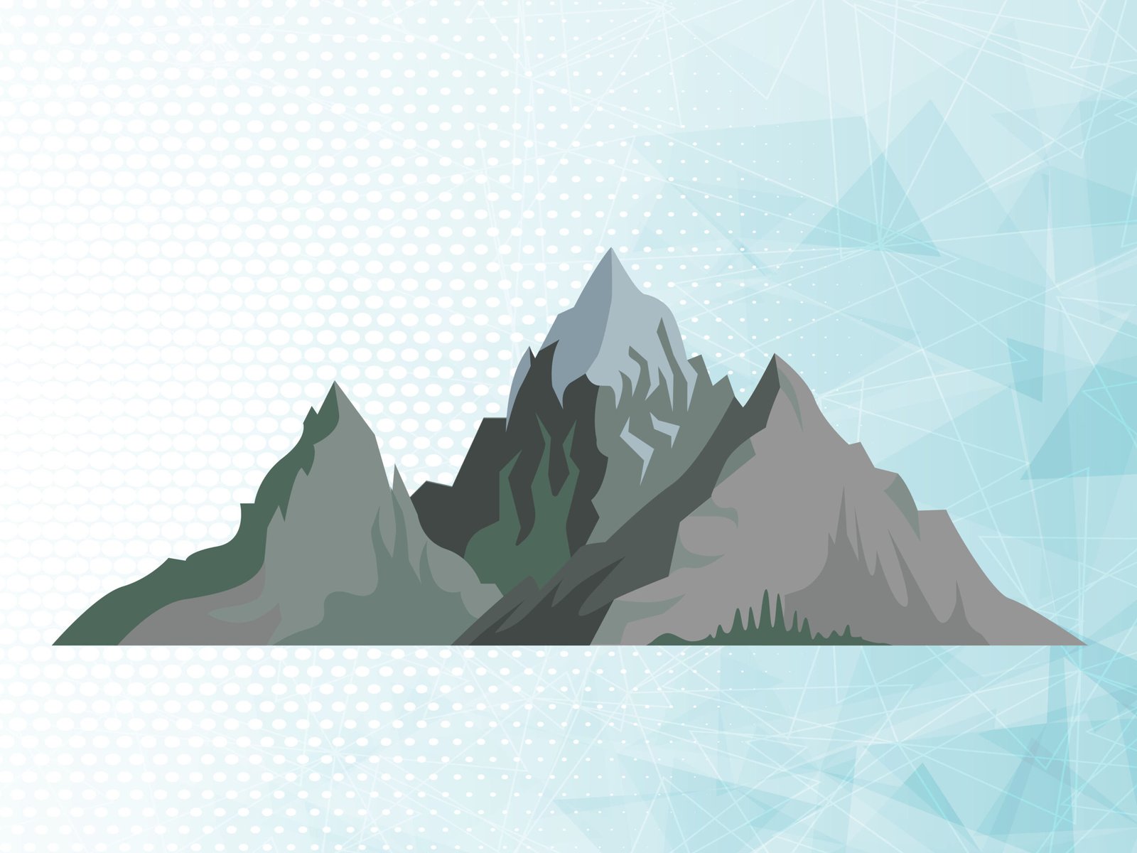
But What are Volcanoes? They are structures located on the earth's surface, formed by the accumulation of materials from the interior of the earth.
A volcano is the result of a complex process that includes the formation, rise, evolution, emission of magma and deposition of volcanic materials.
Instituto Geológico, Minero y Metalúrgico Peru.
A lo largo de la costa del Océano pacífico existe una zona que concentra algunas zonas de subducción más importantes del mundo, debido a esto existe gran actividad sísmica y volcánica; este es el "Cinturón de Fuego" o Pacific Ring of Fire, within which Ecuador is located.
So now we are going to see which are the 10 highest volcanoes in Ecuador, we start from the one with the lowest altitude and at the end there will be the one with the highest altitude:
10 Tallest Volcanoes
10 Tungurahua
Its name is made up of 2 Tungu words (throat) and rahua (fire), therefore it can be deduced that its name means throat of fire, its base has a diameter of 10 km.
Its height is 5020 m, it has had great eruptive activity since 1999 with ash explosions. Later in 2006, 2 large eruptive explosions occurred with pyroclastic flows, emissions of gases and ash.

How to get?
It is located in the Cordillera Real of Ecuador, 120 km south of Quito, 33 km SE of Ambato and just 8 km north of the city of Baños.
9 Carihuirazo
Its name in the Kichwa language means Strong wind of snow. Cari=Male/Strong, Huayra=Wind and Rasu=Snow.
Access to this mountain is relatively easy, which is why it attracts many mountaineers. It has three Josefinos summits 4650 m above sea level. n. m., Central with 5116 m above. n. m. and Mocha with 5028 m s. n. m.

How to get?
Está ubicado a 40 Km al noroeste de la ciudad de Riobamba capital de la provincia de Chimborazo, y a 22 Km al suroeste de Ambato capital de Tungurahua. La temperatura oscila entre 3° - 14°C
It is within the Chimborazo Fauna Reserve. At the beginning of the 20th century, residents of nearby towns went to its glaciers to obtain ice and sell it in the city markets.
8 Illiniza Norte
Los Illinizas is a volcanic edifice made up of two peaks. The Illiniza Norte / Tioniza (female hill) has a height of 5126 meters above sea level. When the weather permits, snow can be observed on its summit.
It is a very popular mountain among mountaineers, who do not have too many difficulties reaching its summit.

How to get?
It is located between the provinces of Pichincha and Cotopaxi. It is located in the Western mountain range; 50 kilometers in a straight line southwest of Quito; 23 km from Machachi.
7 Illiniza Sur
The Ilinizas massif is located in the Province of Cotopaxi, Western Cordillera, at the western end of the Tiopullo Nudo. It is formed by two inclined peaks. Both mountains are separated by a hill called “La Ensillada”

How to get?
From Quito, take the Pan-American Highway to the south, pass Machachi and continue for just over 6 kilometers until you reach the detour to the town of Chaupi (there is a sign on the right side). The road to Chaupi is paved and without any complications. In Chaupi you must take another path that goes to the Illinizas
6 Sangay
It is the southernmost volcano in Ecuador, it has a height of 5,230 meters above sea level. It is undoubtedly the most inaccessible volcano in the territory and climbing to its summit is one of the most difficult feats to perform.
Sangay Volcano is the last volcano south of the Ecuador. It is one of the most active volcanoes in Ecuador, maintaining constant eruptive activity since 1628 (Hall, 1977).
Surely very few explorers will have reached its summit, and it has been one of the most active for decades, so the risk increases due to eruptions.
There are two theories about the meaning of his name. Sankay = Scaring / Shanga = Kind

How to get?
It is located within the National Park that bears the name of the volcano, located in the Cordillera Real, in the province of Morona Santiago. From Riobamba, the road goes first to the town of Alao and from Alao to Hacienda Eten, where the mules are loaded.
Para la caminata desde Eten hasta el volcán, hay que planear 3-4 días. Siempre sube y baja a través de terrenos sin caminos y con mucha vegetación, hay que atravesar varios ríos y arroyos. El refugio "La Playa" que está sobre una capa de lava, se encuentra en el flanco sudoeste del volcán, a una altura de 3600 m
5 Altar
The name that the ancient inhabitants gave it is Kapac Urcu (the powerful lord of the mountains), according to the analysis of some specialists, this mountain was much higher than Chimborazo currently has, however due to an eruption its caldera collapsed, because what currently has that characteristic shape.
With the arrival of the Spanish it took its current name, the Hispanics brought the Catholic religion to these territories, which is why each peak receives a characteristic name: El Canónigo, Los Frailes, El Tabernáculo, La Monja Menor, La Monja Mayor, The Acolyte
It has 7 lagoons: yellow, silver, black, starry, green, mandur, painted

How to get?
The Altar is located in the Sangay National Park in the province of Chimborazo.
You can reach Vía Riobamba – Penipe – Comunidad la Candelaria. After a 7km walk you reach the Collanes Valley where you camp the first day; On the second day there is a walk of approximately two kilometers to the yellow lagoon.
4 Antisana
It is one of the most difficult mountains to climb, due to its glaciers and crevasses, these are constantly changing so there is no well-defined standard route.

How to get?
Located between the limits of the provinces of Pichincha and Napo. It is located in the eastern mountain range of the Andes, 93 km from Quito, taking the Ruta Viva, then the E35 to Pintag, from there the road to the Antisana Ecological Reserve.
3 Cayambe
It is one of the great colossi of the Andes. According to several toponymic studies, its name has several meanings, and comes from various linguistic dialects.
- Cay means young and Bi means water or source of life, according to a theory that mentions that Cayambe comes from the language of the ancient Quitus.
- In the Caranqui dialect Kayan means ice, but in Kichwa Cajan means cold and high place.
- Kayan means brother in the Tsafiqui language and Pi means water, derived from a dialect of the Chibcha people.
All these theories come from various authors who have tried to give a meaning in Spanish to the word Cayambe, in any case there are several coincidences in their analyses, being a source of life, since water for the nearby populations comes from its glaciers. , it is a cold and high place full of ice, and it is also a protector of the people, that is why they call him brother.
This is the only snowy mountain on the planet crossed by the equinox line, it passes at a height of approximately 4200 m. Near the base of the mountain is an important archaeological site, used by the ancient inhabitants of the area to measure the solstice, an important time for the harvest.
Near 5000 meters above sea level there are perpetual glaciers that are approximately 22 km2 and at the summit their thickness can reach 30 to 50 meters.

How to get?
It is located in the royal mountain range 60 km northeast of Quito, very close to the city of Cayambe 15 km.
You can take the E35 or Pan-American highway from Quito to reach the city of Cayambe and then reach the base of the mountain.
It is located within the PN Cayambe - Coca one of the largest and most important in the country, located in the provinces of Imbabura, Pichincha, Sucumbíos and Napo
2 Cotopaxi
It is a beautiful volcano, due to its almost perfect conical shape, this is the most photographed mountain in Ecuador and is located within the National Park that bears its name, which is the second most visited after the Galapagos National Park. Cotopaxi means moon neck.
It is also one of the most dangerous volcanoes in the world, due to the periodicity of its eruptions, currently (2021) it has been active since 2016. It is not only dangerous due to its eruptive style, but also because of the nearby populations that are exposed. and threatened.

How to get?
It is located in the eastern (real) mountain range, 45 km southeast of Quito and 35 km northeast of Latacunga, capital of the province. It is relatively easy to get to the National Park and the volcano, which is why it is one of the most visited.
For climbers, this is one of the most popular climbs; mountaineers from all over the world have come to the country just to be able to access its summit located at 5,897 meters above sea level, which makes it the highest active volcano in the world.
1 Chimborazo
Without a doubt he is the king of all the mountains of Ecuador, his summit is technically the closest point to the sun. Remember that we are in the Equator, this part of the planet has a widened shape.
Taking a measurement from sea level, without a doubt Everest (8849 meters above sea level) is the champion of heights, but what happens if the measurement were made from the center of the earth, in this case the one that takes The trophy of the heights is Chimborazo (6268 meters above sea level) due to the shape of the planet in Ecuador.
It is one of the most difficult mountains to climb, due to changing weather conditions, altitude, terrain topography and several other factors. Chimborazo means ice braid.

How to get?
It is in the western mountain range, 150 km south of Quito
Ecuador es sin lugar a dudas una tierra de volcanes, con hermosos paisajes que nos hacen soñar, y su gente amable y única como en ningún otro lado. Podemos ver a los "taitas" y "mamas" - como les llamaban a las montañas nuestros ancestros - desde lejos con respeto y admiración, o también podemos aventurarnos a sus cumbres, más cerca del cielo y casi tocar las nubes con nuestras propias manos.